What the World Actually Looks Like
The Only Honest Flat Map Ever Made
Look at a map. Any map. The one on your classroom wall, the one in your phone, the one in your head.
Now answer this: is Greenland bigger than Africa, or is Africa bigger than Greenland?
On a standard Mercator projection, the map most people carry in their minds, Greenland looks enormous. It appears to be roughly the same size as Africa, maybe slightly smaller. Some maps make it look bigger.
Africa is fourteen times larger than Greenland.
Fourteen times. Not slightly larger. Not twice as large. Fourteen times. Africa is 30.3 million square kilometers. Greenland is 2.2 million. You could fit Greenland inside Africa fourteen times with room left over for a medium-sized country.
If your map told you otherwise, your map lied.
Why Maps Lie
Here is the fundamental problem. Earth is a sphere (technically an oblate spheroid, but close enough). A map is flat. You cannot flatten a sphere without distorting something. This is not an opinion. It is mathematics. A theorem in differential geometry proves that no flat map can preserve all properties of a sphere simultaneously. Something must stretch, something must shrink, something must break.
The Mercator projection, invented by Gerardus Mercator in 1569, chose to preserve angles. This is useful for navigation. If you draw a straight line on a Mercator map and follow that compass heading, you will arrive where the line says you will. Sailors loved it. The trade routes it enabled built empires.
But Mercator's trade was area for angles. To keep the angles honest, the map stretches landmasses near the poles. The farther from the equator, the bigger things appear. Greenland, near the North Pole, inflates enormously. Africa, straddling the equator, stays roughly correct. Europe balloons. South America shrinks relative to North America.
This is not a bug. It is the price Mercator chose to pay. But here is what happened next: people forgot it was a trade. The Mercator map became THE map. Classrooms hung it on walls. Atlases printed it on pages. And four centuries of humans grew up thinking Greenland and Africa were comparable in size.
The map shaped the mental model. The mental model shaped the politics. Countries near the equator, the countries that the map shrank, were coincidentally the countries that colonial powers treated as small. I am not saying the Mercator projection caused colonialism. I am saying it made it easier to think of equatorial nations as minor.
The Dymaxion Map
In 1943, I published a different map in Life magazine.
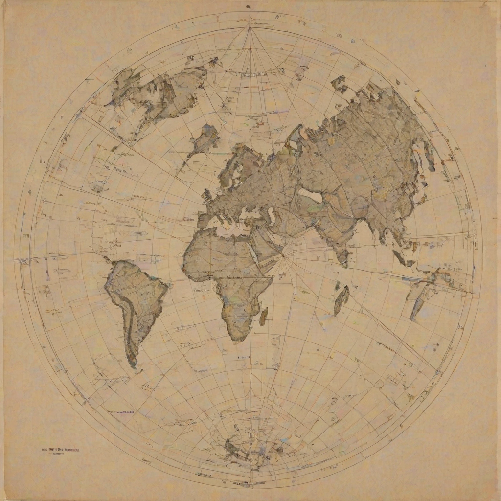
I started with an icosahedron, a twenty-sided solid made of equilateral triangles. I projected Earth's surface onto the icosahedron, then unfolded the icosahedron flat.
The result: a flat map of the entire Earth with almost no visible distortion of relative size or shape. No continent is split. No ocean is split. The proportions are very close to correct.
On my map, Africa looks like what it is: enormous. Greenland looks like what it is: a large island, not a continent. Antarctica is not a white bar at the bottom. It is a landmass with a recognizable shape, sitting where it actually sits relative to the other continents.
And here is what surprised people most: on the Dymaxion Map, the world looks like one island in one ocean.
Not seven continents separated by water. One connected landmass (with a few gaps) surrounded by one connected ocean. You can see, immediately, that it is possible to walk from Cape Town to Moscow to Alaska to Patagonia. The continents are not separate worlds. They are neighborhoods.
What You See When the Map Is Honest
When I showed the Dymaxion Map to audiences, the reaction was always the same. Silence. Then: "I never realized how close everything is."
Russia and Alaska are neighbors. You can see it on my map. On a Mercator map, they are on opposite edges, separated by the entire width of the page. In reality, they are separated by 55 miles of water.
Africa is the center of the world. Not a metaphor. On the Dymaxion Map, the African continent sits roughly in the middle. This is not because I designed it that way. It is because Earth's landmasses, when laid out without distortion, cluster around Africa. The Mercator projection, centered on the Atlantic and Europe, pushed Africa to the margins. My map just stopped pushing.
The Southern Hemisphere is not "down." On the Dymaxion Map, there is no up or down. The map can be oriented in any direction. "South" is not below "North." South is just another direction on a sphere. The convention of putting North at the top is exactly that: a convention. Not a fact about the universe.
Why It Matters
You might think this is academic. Who cares about map projections?
Everyone who makes decisions based on mental models of the world. Which is everyone.
If you think Africa is small, you underestimate its resources, its population, its potential, and its problems. If you think Russia and America are far apart, you misunderstand the geometry of nuclear war. If you think the Southern Hemisphere is "below" the Northern Hemisphere, you carry an unconscious hierarchy that shapes everything from foreign policy to humanitarian attention.
The map is not the territory. But the map shapes how you think about the territory. And if the map lies, your thinking is built on a lie.
I did not make the Dymaxion Map to replace the Mercator. I made it to show people what the world looks like when the map stops lying. Once you see it, you cannot unsee it. The continents reconnect. The oceans merge. The world becomes what it always was: one system, one island, one ocean, one crew.
Spaceship Earth has one deck. The Dymaxion Map shows you the layout.
Try It
Look at a Dymaxion Map (search for it online; the Buckminster Fuller Institute has good versions) and then look at a Mercator map. Toggle between them. Notice what changes:
- Africa becomes massive
- Greenland shrinks to its actual size
- Antarctica gets a shape instead of being a white bar
- The continents connect
- The oceans connect
- There is no "edge of the world"
Now ask yourself: which map matches the globe? Hold a globe next to both maps. The Dymaxion Map matches. The Mercator does not.
The globe was always telling the truth. The map was editorializing. My map simply stopped editorializing and started reporting.